Skip to content (Press Enter)
Scottish Outdoor Access Network

Scottish Outdoor Access Network

For people working in outdoor access across Scotland

  • Home
  • About Us
    • History of SOAN
    • Our Mission
    • Our Committee
    • SATIN
  • About Access
    • History of Outdoor Access
    • Outdoor Access Today
    • Managing Outdoor access
    • Active Travel
  • Join Us
  • Events
  • Ask SOAN
  • News
  • Privacy Policy
Scottish Outdoor Access Network

Scottish Outdoor Access Network

For people working in outdoor access across Scotland

  • Home
  • About Us
    • History of SOAN
    • Our Mission
    • Our Committee
    • SATIN
  • About Access
    • History of Outdoor Access
    • Outdoor Access Today
    • Managing Outdoor access
    • Active Travel
  • Join Us
  • Events
  • Ask SOAN
  • News
  • Privacy Policy
The point of a green arrow and a Saltire

Case Studies

22
  • Bankier Primary School Path, Banknock, Falkirk
  • Connel Ferry Station School Transport Improvements
  • Bracklinn Bespoke Steel Timber Bridge
  • Cawder ‘Warren Truss’ Bridge
  • Dorrator ‘Steel Truss’ Bridge
  • Delivering Upland Path Maintenance in the Cairngorms
  • Geocomposite – Lochgilphead Shared Use Path
  • Upland path repairs protecting Steall Gorge
  • Rural Path Surfacing – Islay, Argyll and Bute
  • Ultitrec – Wilkies Path, Drymen
  • Use of Locally Won ‘As Dug’ Materials for Path Construction
  • Use of KBI Flexi™-Pave on Trans Pennine Trail
  • Auchterarder Shared Use Path, Phase 2
  • Loch Earn Railway Path
  • John Muir Way (Blackness to Bo’ness Section)
  • Bridgeness Biodoversity Project
  • Clyde Walkway – Use of Smart Surface® Soil Stabilisation Technique
  • Bowline Project at Bowling Harbour, Glasgow
  • Welcome to the SATIN Case Studies
  • ‘Mires Path’ Boardwalk Replacement
  • Battleby House to Redgorton Active Travel Path
  • Stockingfield Junction Footbridge, Glasgow
The point of a green arrow and a Saltire

Technical A to Z

3
  • Access Control and Management
  • Welcome to the SATIN Technical A – Z
  • Access Authorities
The point of a green arrow and a Saltire

Training

1
  • Scottish Access Rights Training Course
View Categories
  • Home
  • Ask SOAN
  • Case Studies
  • Geocomposite – Lochgilphead Shared Use Path

Geocomposite – Lochgilphead Shared Use Path

< 1 min read

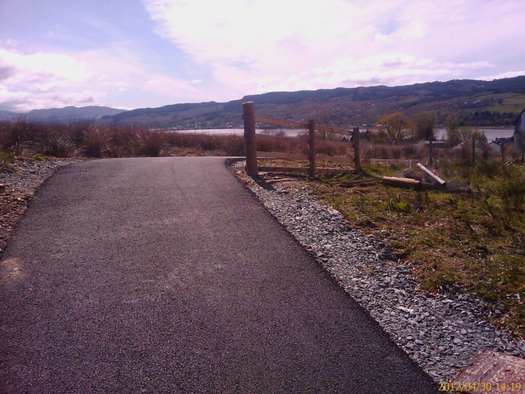
This route provides a cycling and walking route across the east side of Lochgilphead, specifically from MacIntyre and Macdonald Terraces through to the hospitals, golf course and Blarbuie Community Woodland project. The route links into the wider path network, through to Kilmory Woodland and Home Farm project and Dunholigan travellers site through to the south of Lochgilphead, up to Acnabreac forest and cycle trails, and the NCN route 78 at the Crinan Canal to the north and west. The route was identified as a response to high school relocation and development of the former school site. The route is a proposed core path that has been registered without objection. The route crosses a wet uncultivated field.

Download the case study.

Updated on 12 October 2025
Active travel construction construction materials Shared use path

Was this useful to you?

  • Happy
  • Normal
  • Sad

Share This Article :

  • Facebook
  • X
  • LinkedIn
  • Pinterest
Delivering Upland Path Maintenance in the CairngormsUpland path repairs protecting Steall Gorge

Copyright © Scottish Outdoor Access Network

Privacy Policy

Scroll